The International North-Eastern Petra Project
- Welcome to the North-Eastern Petra Project
- Outline of the North-Eastern Petra Project
- Selected bibliography of the North-Eastern Petra Project
- Preliminary Report on the 2014 Season
- Preliminary Report on the 2013 Season
- I. Acknowledgments
- II. Introduction
- III. 2013 survey season
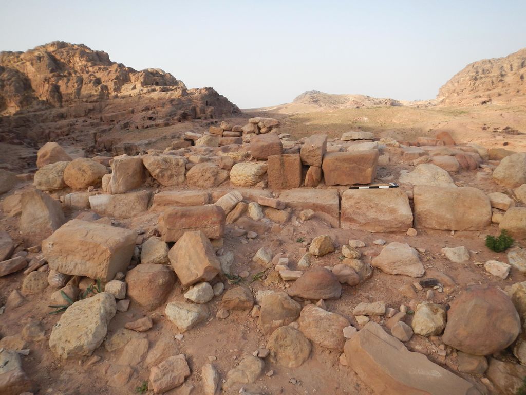
- III. 2013 survey season – structure 4
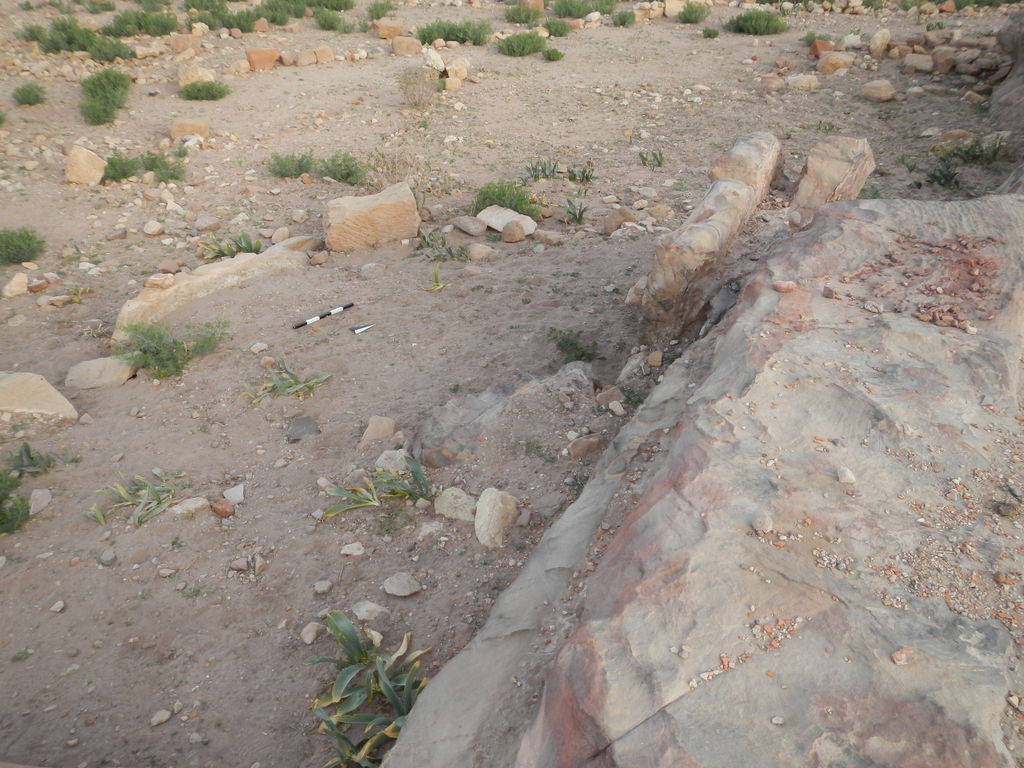
- III. 2013 survey season – structure 5
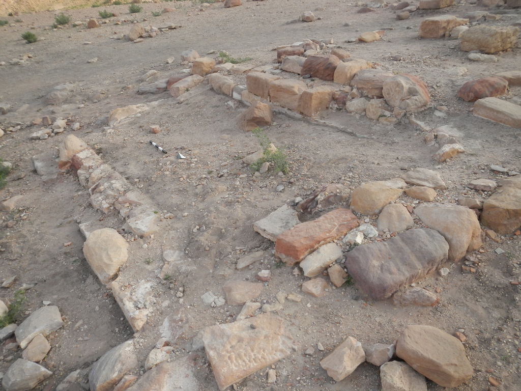
- III. 2013 survey season – structure 6
- III. 2013 survey season – other structures and finds
- IV. General observations
- Preliminary Report on the 2012 Season
- Preliminary Report on the 2011 Season