Preliminary Report on the 2011 Season
by Stephan G. Schmid, Zbigniew T. Fiema and Bernhard Kolb
III. 2011 survey season – structure 3
Structure 3 is situated along the Wadi Mousa in the S part of the NEPP area (figs. 6. 16–19). It is a narrow but very long building, constructed on massive substructures that area built in check board manner into the steep hill towards the Wadi Mousa.
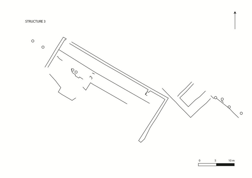
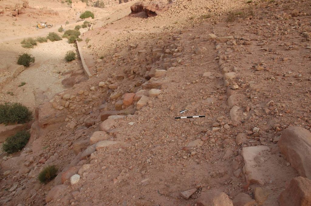
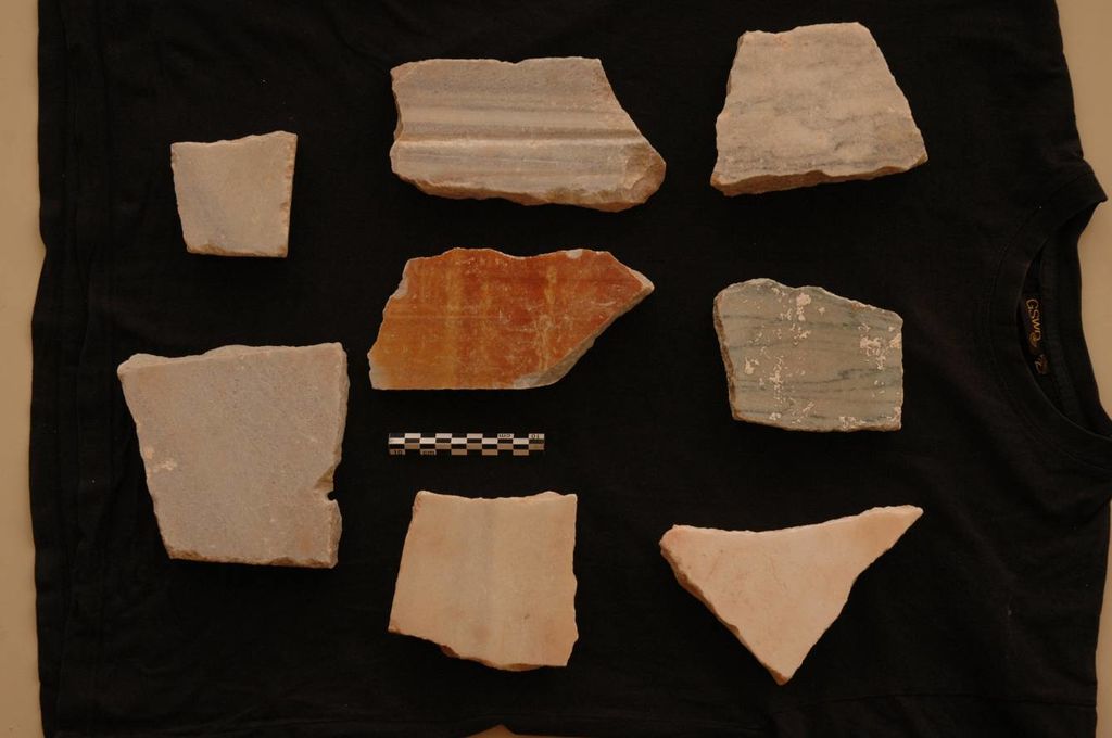
Apparently, the main structure was built on two levels. A long gangway in the higher back part of the structure (fig. 17), and a colonnaded hall on the lower forepart of it (fig. 18). Some of the columns, opening towards the Wadi Mousa, are still standing in situ. The clearly representative character of structure 3 is further underlined by the important number of slabs cut from different variants of white and polychrome marbles (fig. 19). A building such as structure 3 is hardly understandable in an independent function. It can only be explained as part of a bigger complex. In this case, its function must have been to create a representative frame for the E part of the NEPP area towards the Wadi Mousa, where the main communication axis of the ancient city was located. This situation clearly shows that we have to understand most, if not all of the NEPP area as belonging to one overall building complex that apparently had – within others – a strong representative function.
Another remarkable feature of the NEPP area is its water management. This particular part of the city is directly supplied by a long distance fresh water conduct, the so-called northern al-Khubta aqueduct, originating from Aïn Mousa Gunsam 1997. . It reaches the city at the same spot, i. e. the NE corner of the NEPP area, where the water catchment system of the el-Khubta massif is filling a huge cistern just N of the Palace Tomb. As far as a superficial look at these water systems seems to indicate, the fresh water supply normally would have run independently from the rain water supply, although in crisis situation they could have been brought together in order to fill the same basins and cisterns contra Gunsam 1997 who thinks that they were always functioning together. . Therefore, a huge volume of water was at the disposal of the occupants of the NEPP area. This is reflected by the manifold water basins along the gently sloping hills of the area, as for example the one on the S side of structure 2.