The International Ez Zantur Project
- Welcome to the International Ez Zantur Project
- Outline of the International Ez Zantur Project
- Selected bibliography of the International Ez Zantur Project
- Preliminary Report on the 2002 Season
- Preliminary Report on the 2001 Season
- I. Introduction
- II. Ez Zantur IV: A neighbourhood shrine on EZ IV?
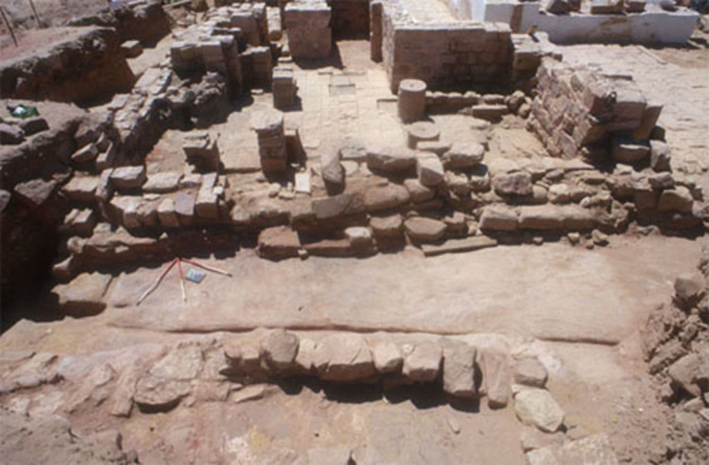
- III. Ez Zantur IV: Room 37 and the soundings along the eastern facade
- IV. Ez Zantur IV: The cisterns of rooms 22, 27 and 17 (southern substruction)
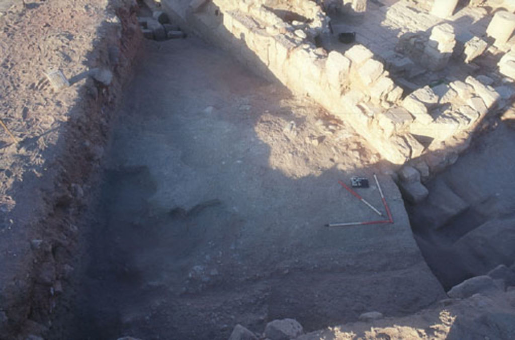
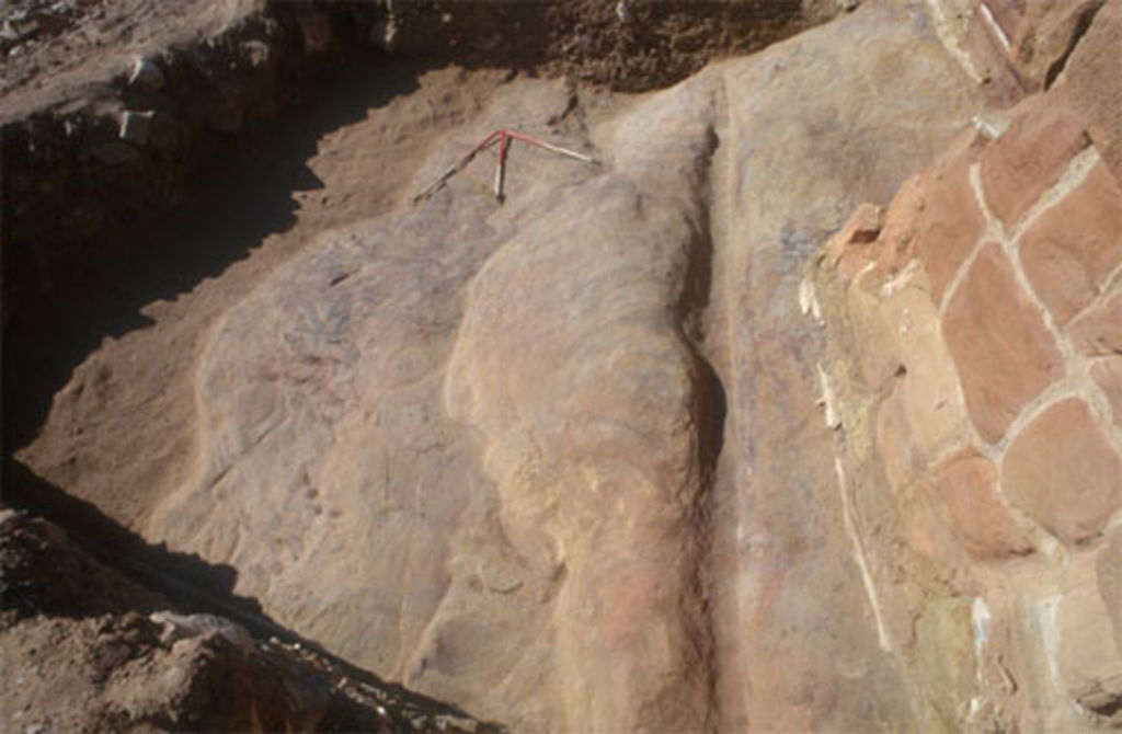
- V. Ez Zantur IV: Final soundings on the west flank of terrace EZ IV
- VI. Ez Zantur IV: Rooms 44, 47 and 49
- VII. Ez Zantur IV: Glass tableware of the mid 4th century AD
- Preliminary Report on the 2000 Season
- Preliminary Report on the 1999 Season
- Preliminary Report on the 1998 Season
- Preliminary Report on the 1997 Season
- Preliminary Report on the 1996 Season