Report on the 2011 and 2012 Seasons

by Laurent Gorgerat and Robert Wenning, with a note by Laila Nehmé

III. The Northern Terrace – c. Further structures

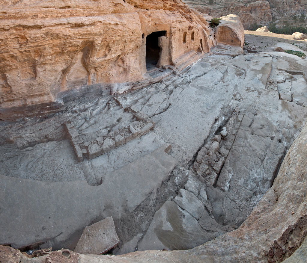
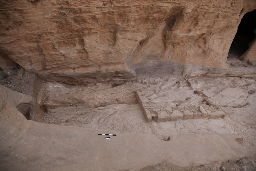
After the excavation of some parts of the Northern Terrace in 2010 Gorgerat – Wenning 2010: ?. which revealed the existence of built architecture in front of BD 24, the plateau of the Northern Terrace was completely excavated (Figs. 3. 21) in 2011 and 2012. This could be done easily as the bedrock was just covered by sand and rubble washed in from the higher north passage. The package of earth and stones reaches from a few cm in the south to ca. 75 cm in the north. We noticed that the plateau has suffered by intruding water which caused cracks and fissures. All natural mouldings and depressions were filled by the Nabataeans with stones and earth to create levelling. Even in Rooms 1–2 (Fig. 3. 22), where the rock was taken down like in a quarry, the remaining grooves were filled with a hard material.

Fig. 21: Panoramic view of the Northern Terrace (photo: L. Gorgerat)
Fig. 22: Northern Terrace. Rock-cut rooms R1, R2 and R3 (photo: L. Gorgerat)

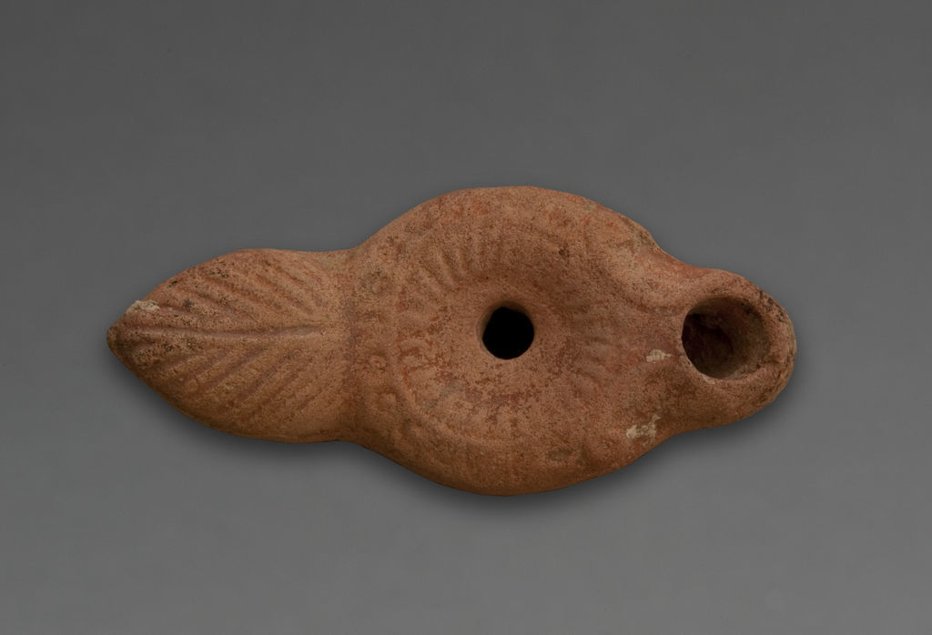
At the bottom of one of the grooves we found a well-preserved lamp, a local imitation of type Broneer XXI (Fig. 23), which is dated ca. AD 100 Grawehr 2006: 291–294. . If we have to assume that fine covering slabs we put upon this level, we are not sure, although fragments of some pavement slabs have been found among the debris in the north. Where the foundation trench of Wall 1 is interrupted and rises up to the floor-level, we suggest the entrance to Room 3. That is supported by the hole for the door pivot. Together with Walls 1–2 a new water channel was cut, which is deepened into the bottom of the foundation trench of Wall 1 and runs in some distance almost parallel to Wall 2 towards the old fissure at the foot of the higher Rooms 1–2. From here is water could follow the fissure under Wall 2 and was collected in a large rough depression just to the south of Wall 2.

Fig. 23: Northern Terrace. Lamp from the groove of R2 (photo: L. Gorgerat)

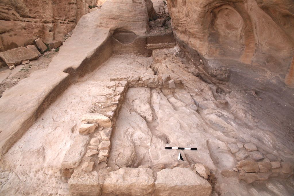
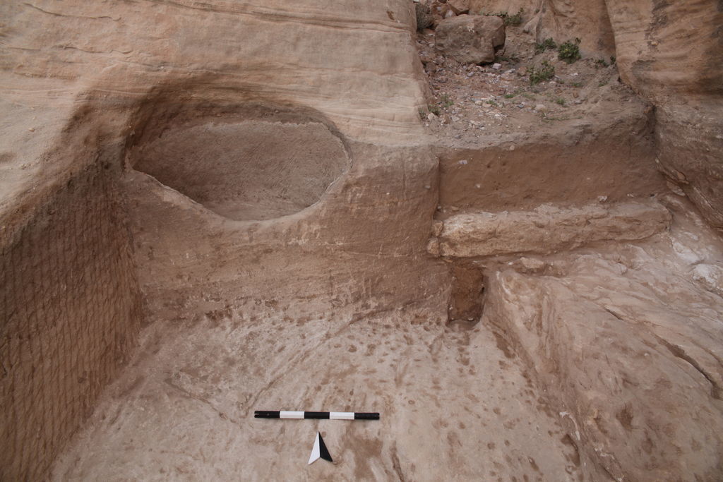
To the north of the entrance of BD 24 (Fig. 24. 25), further built and rock-cut structures were excavated during the 2011 and 2012 campaigns. The rectangular Room 4 (Fig. 25. 25) is attached on its eastern part to the rock of the tomb, while the western part is built by a wall. It might be that an entrance existed in the southeastern corner, which was secondary closed. A narrow rock-cut corridor leads to Room 5, which marks the northern end of the area. The corridor itself could be closed by a wall or a door in the north. At the northern back of Room 5 a well preserved niche basin was cut into the rock (Fig. 26). To the right of the basin the higher passage to the north will probably have been dammed by a wall, of which only the lower layers appear in the section. Four abutment niches in the rock face point to arched rooms roofed with slabs resting on arches, which can be compared to Rooms 1 and 2 Gorgerat – Wenning 2013: 233–234. .

Fig. 24: Northern Terrace. Rock-cut rooms R4 and R5 from the south (photo: L. Gorgerat)
Fig. 25: Northern Terrace. Rock-cut rooms R4 and R5 from the east (photo: L. Gorgerat)
Fig. 26: Northern Terrace. Rock-cut bassin in room R5 (photo: L. Gorgerat)

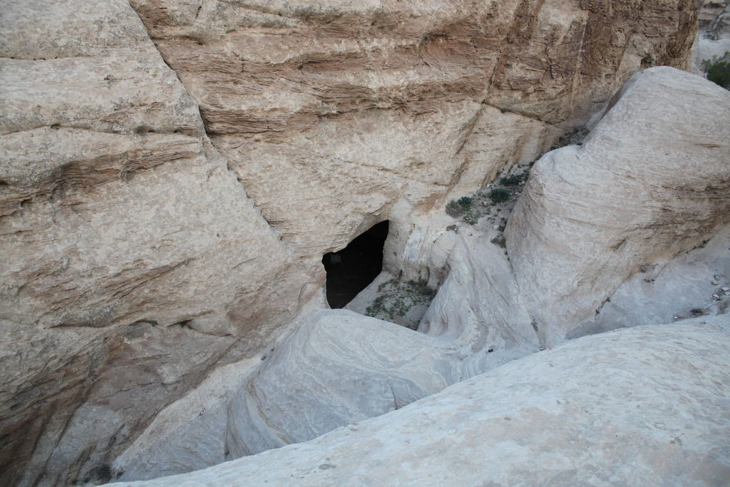
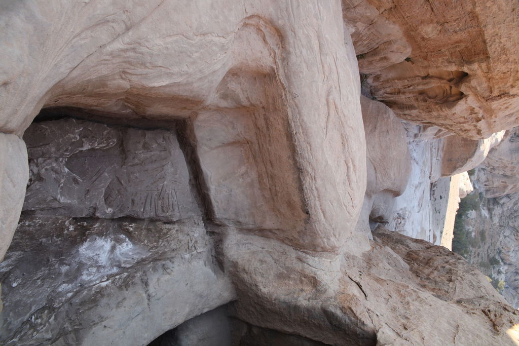
Natural water channels are running along the foot of the high rocks. The heavy winter rains poured down over the plateau of both terraces from the higher area in the north, dammed in depressions and intruded into the rock, which has become very weak only a few inches below the surface. The Nabataeans tried to prevent such damages and tried to keep the water. They cut grooves and simple channels all around where water flowed down. This can be seen at best in the part between the Northern Terrace and the ar-Ramla plateau (Fig. 1). Here the reservoir BD 26 is cut into the rock (Fig. 27) and four votive niches and a small niche basin. Although we were not able to excavate the reservoir which is full of earth, stones and rubble today, we made a sounding to reach to the ground, but had to stop the venture after around 2.50 m. Considering the steps leading down to the ground, we suggest that the chamber could be about 5–6 m deep. The chamber itself measures 6 x 6.28–6.43 m. The walls are roughly carved by a tooth chisel.

Fig. 27: Northern Terrace. Rock-cut reservoir BD 26 (photo: L. Gorgerat)

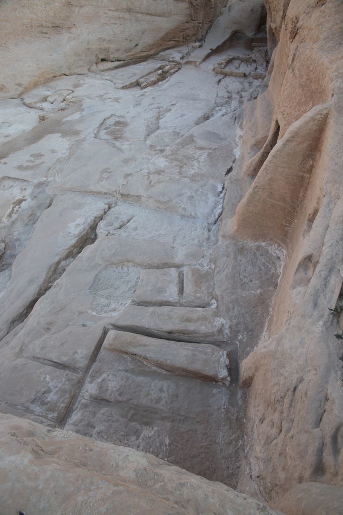
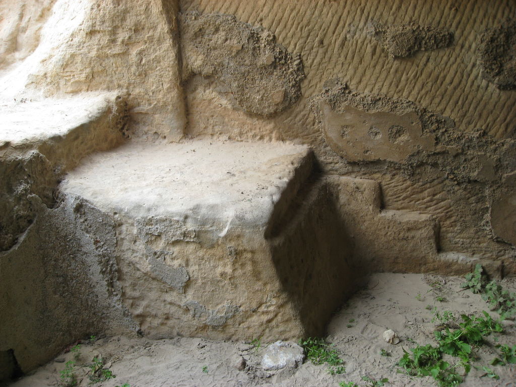
A thick grey plaster with small pebbles and tiny pottery fragments is put on the walls 4.5 cm in thickness. The possible volume of the reservoir seems to be too large in relation to the amount of water which can be expected from the relatively small area around. A few medieval characters are painted on the plaster. We suggest that in this period the steps were cut off (Fig. 28). The opening of the reservoir measures 2.50 in width and 1.75 in height. An open settling tank with four steps is cut in front of the opening into the rock, measuring 3 x 2.30 m (Fig. 29). The bottom of the basin is 70 cm below the opening of the reservoir, but the side walls of the basin reach a height of ca. 1.30 m. When the basin was filled with water it flowed into the reservoir. There are traces of a natural channel along the foot of the rock between the basin and the built installations around Room 4. This channel started already to the north of the basin and originally fed the cistern D19, while the basin interrupted its course. The water has deeply eroded the rock in some parts.

Fig. 28: BD 26. Remains of the steps leading into the reservoir (photo: R. Wenning)
Fig. 29: Settling tank in front of reservoir BD 26 (photo: L. Gorgerat)

During cloudbursts it could happen that even the basin overflowed. A danger of this water for the built architecture was noticed by the Nabataeans who cut an artificial channel of almost 13 m length to direct the water in any case to the cistern D19 (Fig. 1). The new channel started on the level of Room 4. When the site was abandoned in the 2nd century AD and the channels were no longer looked for, the water broke the interface and found its way down to the Northern Terrace along the southern face of Wall 3, eroding the rock here as well.