The International Wadi Farasa Project
- Welcome to the International Wadi Farasa Project
- Outline of the International Wadi Farasa Project
- Selected bibliography of the International Wadi Farasa Project
- Preliminary Report on the 2009 Season
- I. Introduction and acknowledgments
- II. NE-corner of complex
- III. Courtyard
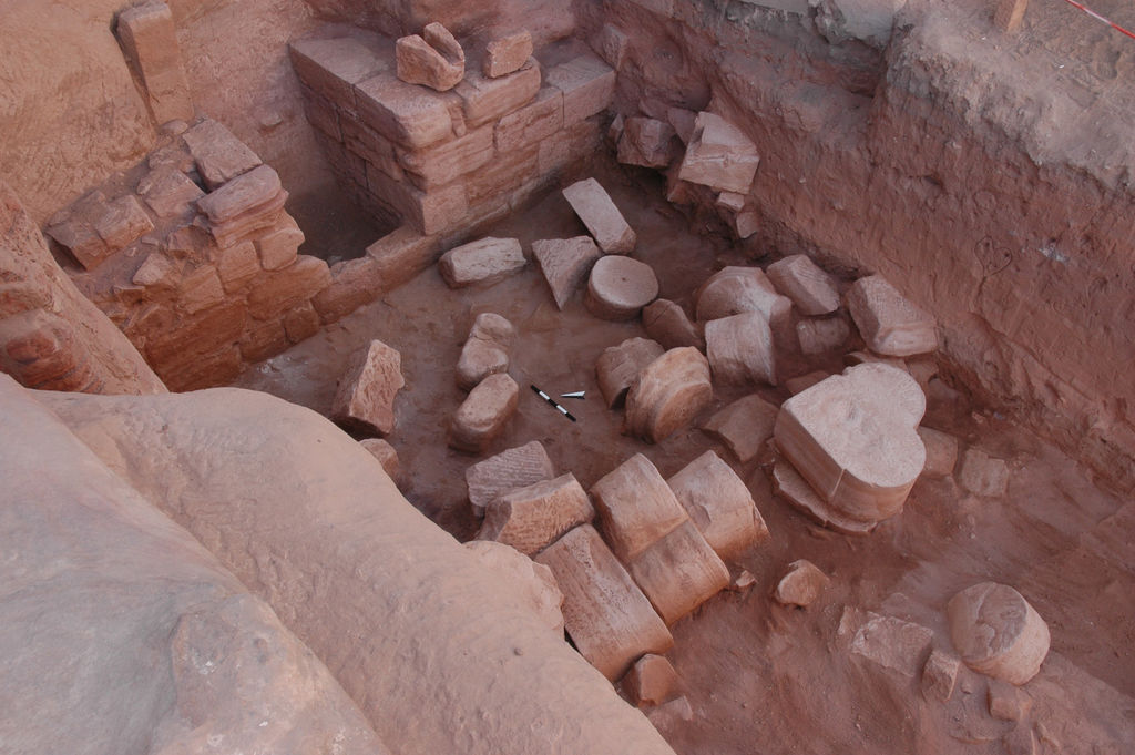
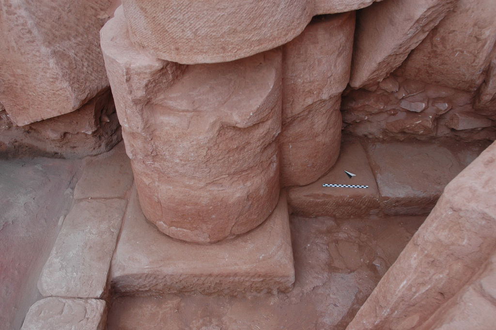
- IV. Entrance to the huge triclinium
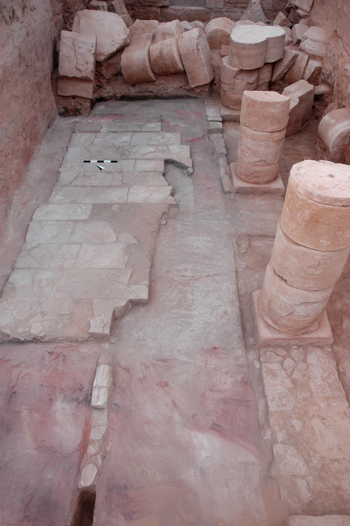
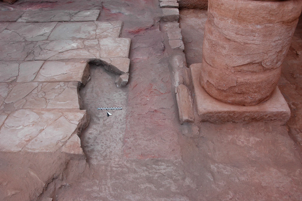
- V. Southern portico and rock-cut room
- VI. Shaft graves on western outcrop
- VII. Restoration
- Preliminary Report on the 2007 Season
- Preliminary Report on the 2006 Season
- Preliminary Report on the 2005 Season
- Preliminary Report on the 2004 Season
- Preliminary Report on the 2003 Season
- Preliminary Report on the 2002 Season
- Preliminary Report on the 2001 Season
- Preliminary Report on the 2000 Season