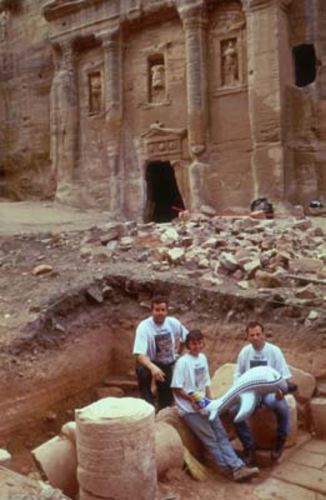
The year 2000 saw the first field season of The International Wadi Farasa Project (IWFP) that lasted from October 1 to October 30 was carried out by the Association for the Understanding of Ancient Cultures (AUAC), based in Basel (Switzerland) and the Palestine Exploration Fund (PEF, London).
The IWFP is grateful to Cyprus Airways (Larnaca) for assisting in transport, to Kodak International S. A. (Lausanne) for providing photographic material under generous terms and to R. Glutz (Solothurn) for technical assistance.
Beside the writer, the following persons participated in the 2000 season of the IWFP: Dr. Daniela Pohl (Bonn), Dr. Martin Seyer (Athens/Vienna), Aktham Oweidi Abadi, MA (representative of the Department of Antiquities) whose help and advice were much appreciated. Eight workmen from the B’dool and Saydin tribes were employed. Finally, the IWFP 2001 season would not have been possible without the friendly cohabitation in the John Lewis Burckhardt Centre (Nazzal’s Camp) with the team from Basel University carrying out the Swiss-Liechtenstein excavations at az-Zantur; the practical advice of Dr. Bernhard Kolb (Basel) did much advance our campaign. We would also like to thank IFAPO Amman, especially Jean-Pierre Braun and Ina Kehrberg, for lodging the team during its stay at Amman, Ina Kehrberg further edited the text of this report.
In general terms the main tasks of the IWFP 2001 were: to examine the hypothetical reconstruction on paper by Bachmann Bachmann – Watzinger – Wiegand 1921: 75ff. of a peristyle courtyard between the „Soldier Tomb“ and the opposite triclinium Brünnow and Domaszewski 1904: 272f. nos. 235 and 239. ; to locate the ancient walking surface between the two monuments and estimate the total amount of debris above the ancient level on the lower terrace of the Wadi al-Farasa East For the theoretical background of the project, its mid and long term goals and detailed references for the different monuments quoted here see Schmid 2000. . In addition, the water drainage system of the „Soldier Tomb“ and the funtain of the huge cistern on the upper terrace of the Wadi al-Farasa East were cleared in order to draw an accurate plan and to understand the connection to the other monuments of the area. The different water supply and drainage systems of the Wadi al-Farasa East from Jabal Atuf (the so called High Place) to the „Renaissance Tomb“ Brünnow and Domaszewski 1904: 239ff. no. 85 and 269 no. 229 resp. were documented and mapped.