The International Wadi Farasa Project
- Welcome to the International Wadi Farasa Project
- Outline of the International Wadi Farasa Project
- Selected bibliography of the International Wadi Farasa Project
- Preliminary Report on the 2009 Season
- Preliminary Report on the 2007 Season
- Preliminary Report on the 2006 Season
- Preliminary Report on the 2005 Season
- Preliminary Report on the 2004 Season
- Preliminary Report on the 2003 Season
- Preliminary Report on the 2002 Season
- Preliminary Report on the 2001 Season
- Preliminary Report on the 2000 Season
- I. Introduction
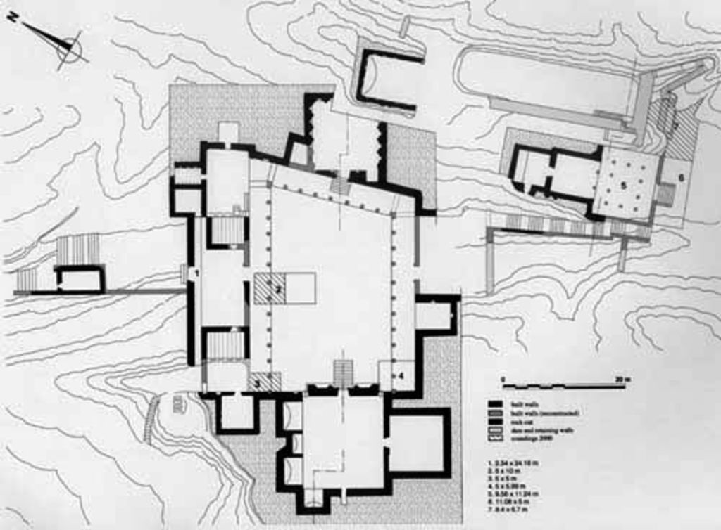
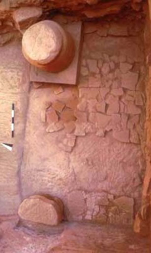
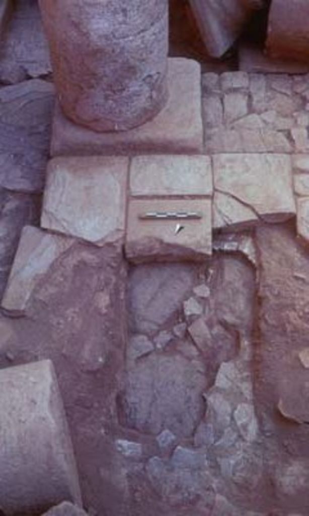
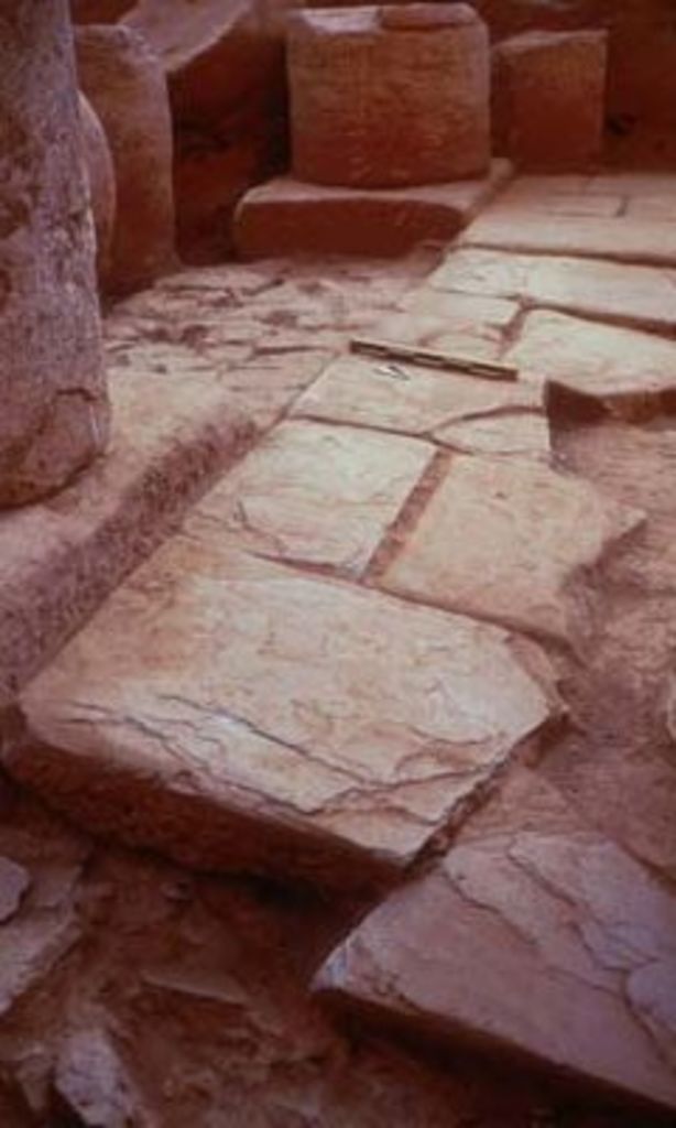
- II. Lower terrace – a. Architectural remains and structures
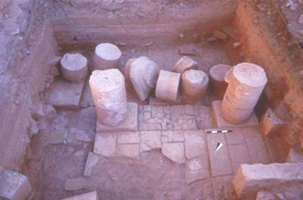
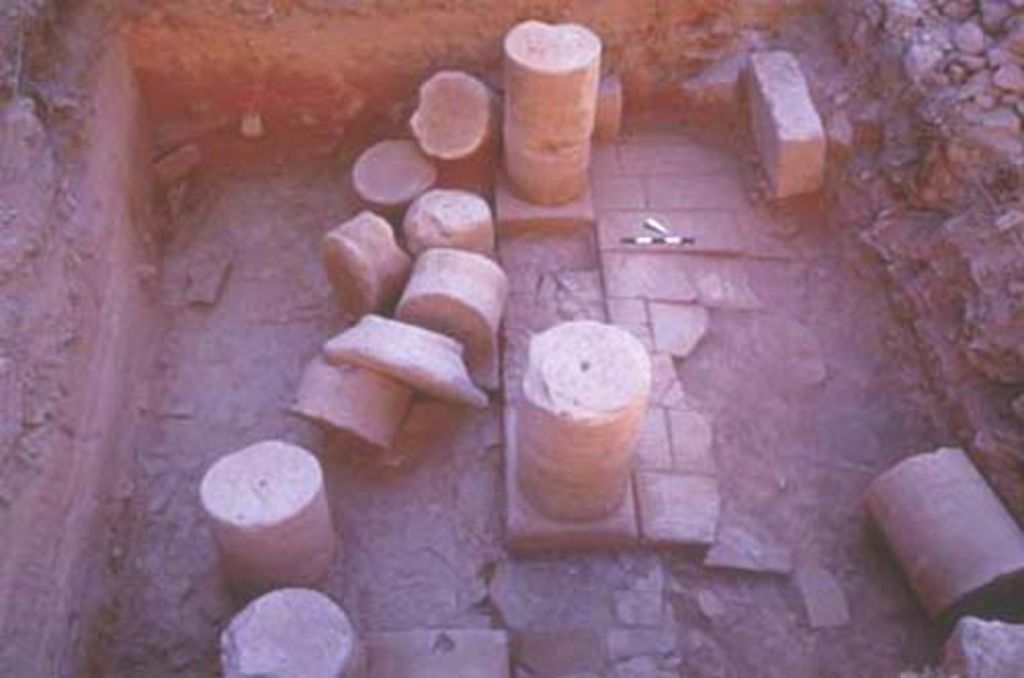
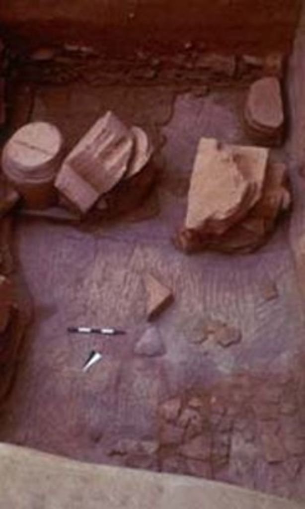
- II. Lower terrace – b. Stratigraphy and chronology
- II. Lower terrace – c. Water drainage system of the „Soldier Tomb“
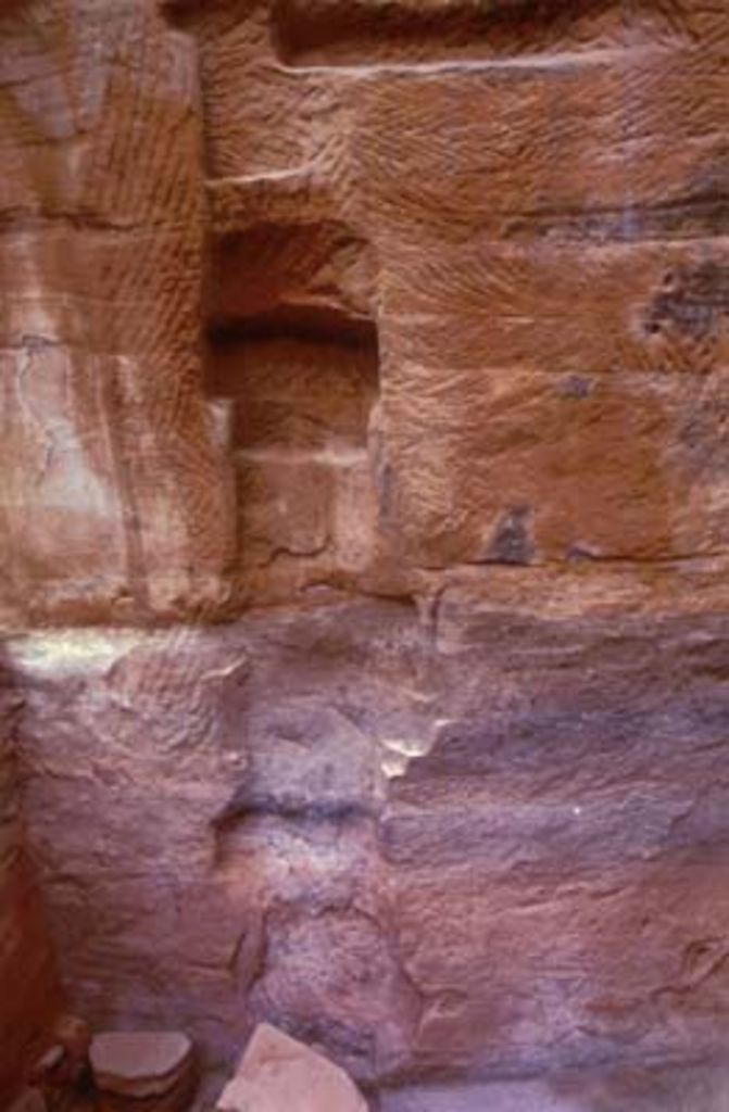
- II. Lower terrace – d. Rock graffito
- III. Upper terrace – Cistern and basin
- IV. The water supply and drainage systems of the Wadi al-Farasa East
- V. Perspectives